
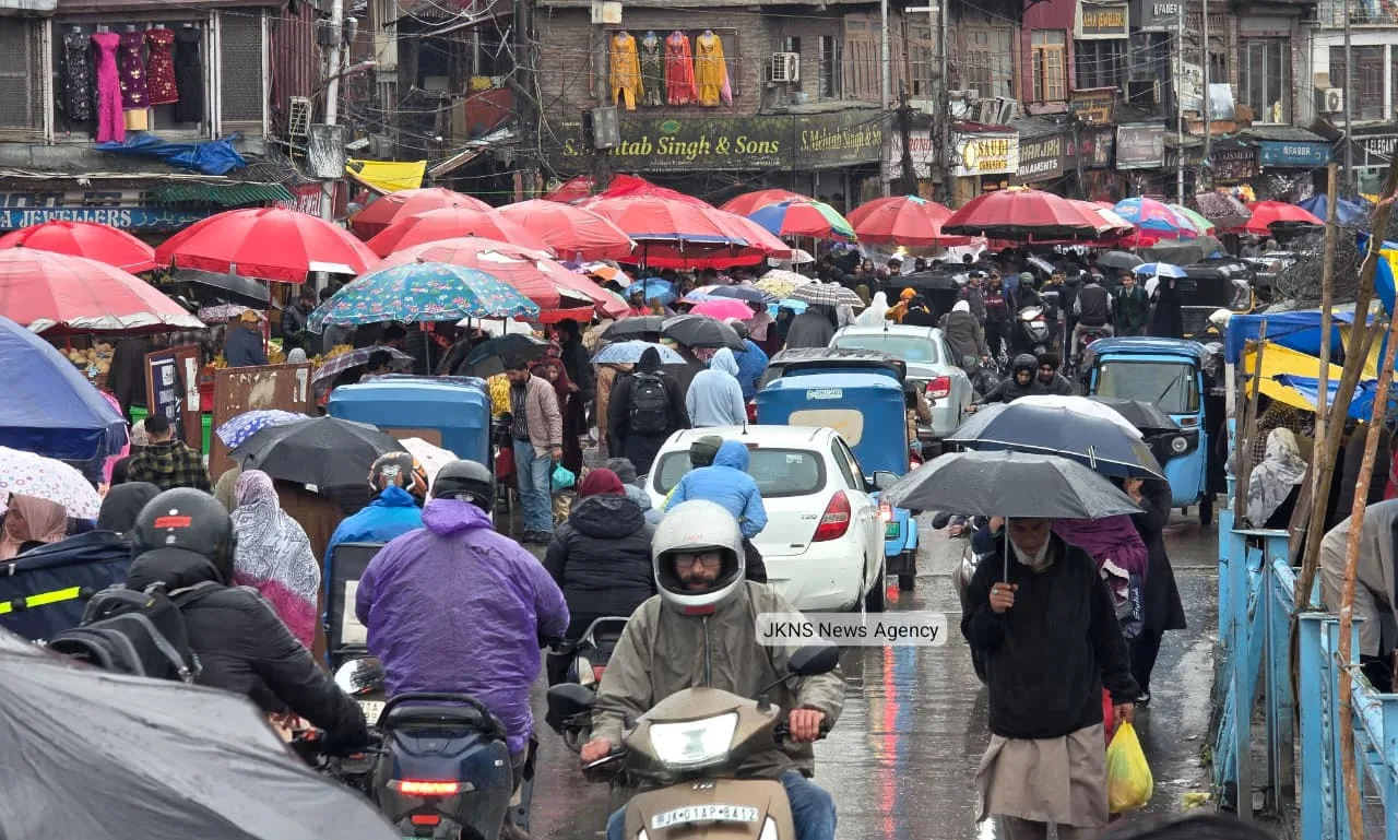
Srinagar, Mar 18 (JKNS): Intermittent rainfall in plains and fresh snowfall in higher reaches on Wednesday led to a noticeable drop in temperature across Kashmir, bringing back winter-like conditions, officials said.
A Meteorological Department official said that a fresh western disturbance is influencing the region, resulting in widespread cloud cover and precipitation.
Popular tourist destinations including Gulmarg and Sonamarg received fresh snowfall, while plains such as Srinagar witnessed intermittent drizzle.
Authorities have advised commuters to remain cautious while travelling towards higher reaches due to slippery road conditions following snowfall.
Director MeT Centre Srinagar, Dr. Mukhtar Ahmad, said that erratic weather is expected to persist till March 20.
He said that from March 18 to 20, the weather will remain generally cloudy with intermittent light to moderate rain and snowfall at many places, with chances of moderate to heavy snowfall over higher reaches of Chenab Valley and South Kashmir.
From March 21 to 25, conditions are likely to remain mostly dry, except for a brief spell of rain or snow at isolated places on March 23, he said.
He further said that between March 26 and 28, the weather is expected to turn cloudy again with light rain and snowfall over higher reaches at scattered to many places.
The MeT department has issued an advisory asking travellers and transporters to plan their movement carefully, especially over higher passes between March 18 and 20, warning of possible heavy rain and snowfall in higher reaches along with thunder, gusty winds (40–50 kmph) and isolated hailstorms.
Farmers have also been advised to suspend farm operations during this period due to adverse weather conditions. (JKNS)